LA FORADADA
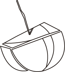
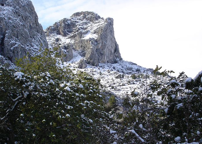
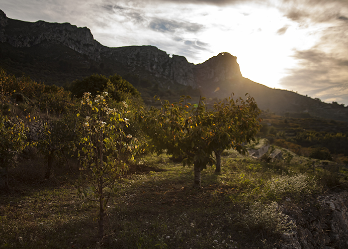
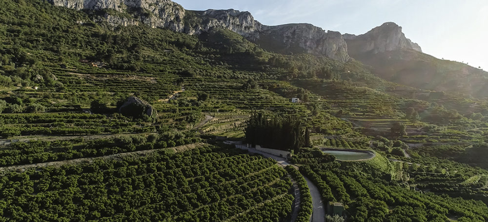
The Sierra Foradada is the mountain range that delimits the valley to the south. It is a mountain range formed by an inverse fault or overlap, as a result of the compressional stresses of the tectonic plates and the fracture of the limestone layers. This has conditioned the formation of various types of cliffs and, as a result, an abrupt and steep relief. The highest peak is located on the Tossal de la Creu (912 m), but the most emblematic peak is La Foradada (737 m), formed by a large rock arch that characterises the valley. The surroundings of this famous hole show evidence of the existence of a cave with karstic formations which may have collapsed and thus formed the current arch.
The remains of an al-Andalus tower lie at the foot of the arch and, nearby, there are the remains of an ancient Bronze Age settlement. Not far away is a cave called La Cova Obrada del Moro, an old pen that gives access to a cave with some rammed earth walls with windows. It was used in the past to lock up cattle and sometimes perhaps to imprison captives.
The site of La Foradada is located in the middle of the valley and can be accessed from several villages with paths that converge near the summit. The access from Benissivà-Benitaia, La Carroja or Alpatró lead to a crossroads that, traditionally, had been a meeting point for hikes and the ascent of the Good Friday cross to La Foradada. It is also the natural path towards the Alcalà valley.


