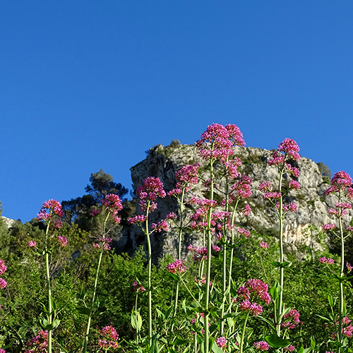
THE MOUNTAINS
The terrain was formed during the Cretaceous period, covered at the bottom of the valley by Tertiary marls that rise on the right bank to a fairly high level due to the relatively modern uplifts of the earth’s crust.
Hidrografía subterránea, Leandro Calvo (1908)
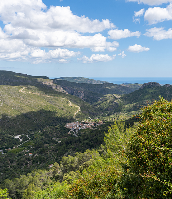
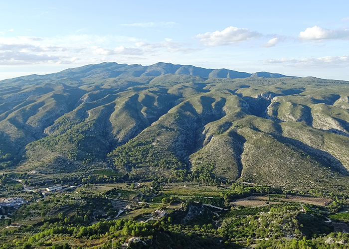
The mountains that delimit the valley area of La Vall de Gallinera are located within an impressive mountain range called La Bética, which covers a great part of the south of the Iberian Peninsula, from the depression of the Guadalquivir all the way to Cap de la Nau, continuing on to the Balearic Islands. It is the youngest and most active mountain range on the peninsula. La Vall de Gallinera is part of the Prebetic System, within what is called the external Betic, a mountain range with a west-southwest to east-northeast direction that alternates more or less parallel mountainous alignments with valleys in between them. La Vall de Gallinera is delimited by the L’Albureca, La Safor and L’Almirant mountains to the north and the La Foradada mountains to the south, with altitudes reaching 1,013 metres (the La Safor peak) and 912 metres (Tossal de la Creu, in the Sierra Foradada). The materials of these mountains began to form in the sea more than ninety million years ago (Ma) and those at the bottom of the valley between 15 and 20 Ma. The beginning of the formation of the Betic mountain range can be dated to approximately 60 Ma, when the alpine orogeny began, as a result of the collision between the African and Eurasian tectonic plates.
When Cavanilles entered La Vall de Gallinera from Planes in 1793, he wrote in his excursion diary:
I entered the Gallinera valley. From the Barranco de la Encantada ravine a mountain rises that runs to the east, called Albureca, parallel to the slopes of Benicadell, which then forms the valley of the Lagoon, with Azafor to the north and Albureca at noon, until they approach each other and almost blend in together next to Villalonga. To the south of Mount Albureca, there are other mountains that continue beyond the Gallinera valley, of which the highest altitude is in the Foradada rock, which is located more or less in the centre of the valley.
Limestone is a more or less rigid material that, when under high pressure, bends, but if the pressure increases then it fractures and displacement of fractured blocks is very common. And so, overlaps with compressive forces are formed.
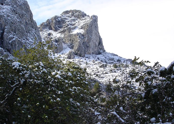
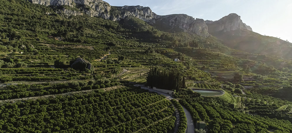
We can imagine the valley as a fold in which the high parts are the mountain ranges that delimit it and the depression in the middle would be where the Gallinera River currently flows, but which at that time had not yet formed. A great force pushed the Sierra de La Foradada against the Sierra de La Safor (with L’Albureca and L’Almirant), and the limestone rocks of the Sierra de La Foradada broke and rose up, riding over the valley, leaving behind cliffs and yet more cliffs.
The compressive forces are sometimes linked to other forces of distension, so that many normal faults also formed, and one of these led to the rise of La Safor. Erosion and modelling, seismic movements and the passage of time (with the footprint of the human race, too) have all been responsible for giving the valley its current appearance.
The most remarkable thing about the mountains of La Vall de Gallinera is the orientation and, considering that we are very close to the coast, the altitude is also noteworthy. All this creates special climatic conditions that make the territory in question one of the most rainy ones in the Valencian region. In addition, high and steep mountains mean that there are also ravines. All in all, a huge amount of differing microclimates and microenvironments, which create great biodiversity.


