Villages
Different routes
Km in total
AN EXAMPLE OF A SIGN

Hiking trails
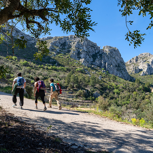
THE FORADADA ROUTE
There are many ways to get to the Foradada rock (La Foradà, as it is known by the inhabitants of La Vall de Gallinera). The classic and best known route is the one that goes from Benitaia, passes by the Franciscan convent of Sant Andreu.

THE ROUTE OF THE 8 VILLAGES
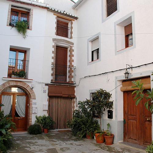
The Route of the 8 Villages is a trail that passes through the eight villages of La Vall de Gallinera. Each village has its own particular atmosphere and so it is necessary to visit them all.
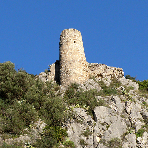
THE BENIRRAMA PASS AND CASTLE ROUTE
The Benirrama pass is the natural path that connects this village in La Vall de Gallinera with La Vall d’Ebo. It goes through the greenest part of the shaded side of the valley and much of the route is a cobbled path, easy to walk on and very enjoyable.
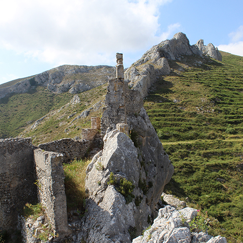
THE CASTLE OF BENISSILI AND THE IBERIAN SETTLEMENT OF XARPOLAR
To go to Benissili Castle from La Vall de Gallinera, the easiest way is to climb from the village of Benissili. From the left side of the old school, at the top of the village, there is a path that leads through centuries-old olive trees to the main road, and from there to the castle, along a stretch of paved road.
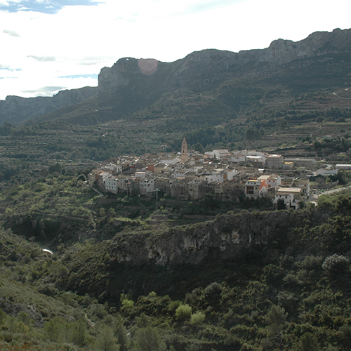
THE LLIMENER SPRING
The spring known as La Font del Llimener is the only important spring on the valley’s south-facing slope, La Solana. While it is true that there are other springs too, these nevertheless have a very irregular flow and are often sporadic springs, only flowing after heavy rains.
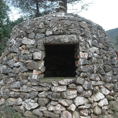
BASSA DE LA LLACUNA
The Llacuna pond (known as La Bassa de la Llacuna, in Valencian) is located within the limits of La Vall de Gallinera but borders with the Vilallonga municipality. It is a pond formed by the accumulation of clays, in a depressed area that collects rainwater and keeps it there throughout the year, although the level may fluctuate somewhat.
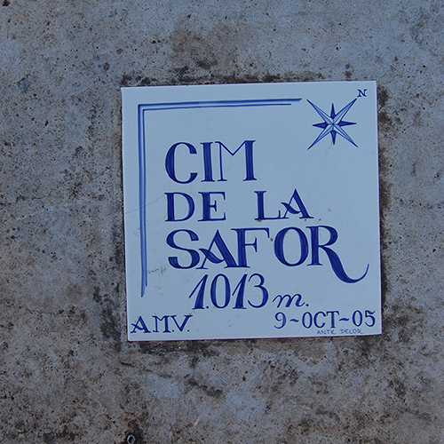
THE LA SAFOR PEAK
The La Safor peak is the highest and northernmost point of La Vall de Gallinera. It is located on the boundary with Vilallonga, in La Safor, and L’Orxa, in the Comtat region.
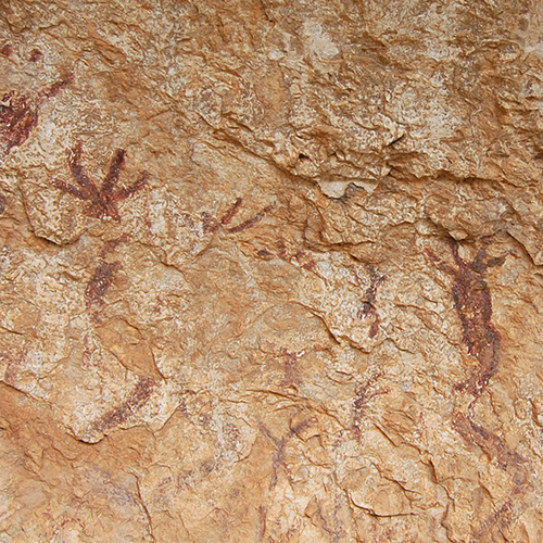
ROCK ART
Benirrama’s cave paintings were discovered in 1977 by the Centre d’Estudis Contestans (Center for Contestani Studies), which studied the art they found and published works about it.
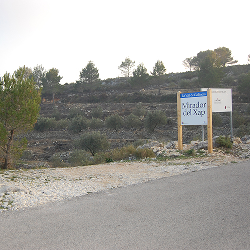
LES LLOMES DEL XAP
This is the name of an area of many cliffs located between the towns of Benirrama, Benialí and Benitaia. A difficult zone to reach, the area was declared a flora microreserve by Generalitat Valenciana on the 6th of November, 2000, due to the rich variety of flora growing there.
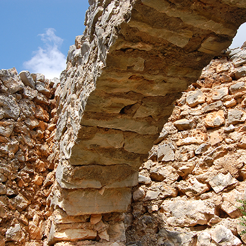
THE PENS OF LA CARROJA
This trail gives the hiker some good examples of what life was like for the shepherds that dwelled on these mountains, up until half a century ago.
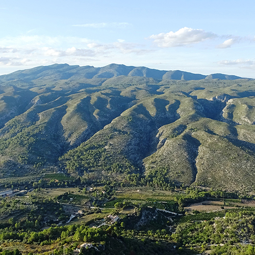
PR-CV 43: LA VALL DE LAGUAR - THE PEAK OF LA SAFOR
It starts in the village of Fleix in La Vall de Laguar and, after crossing the famous Barranc de L’Infern, it goes to La Vall d’Ebo, La Vall de Gallinera and La Vall d’Alcalà, ending at the top of La Safor after climbing from the old livestock pen known as Corral de Pere Jordi.
PRCV 147 BENIALÍ-ALPATRÓ
This trail is recognised by the Valencian Community’s Federation of Mountain Sports and Climbing

